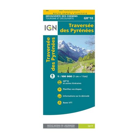
IGN Laminated map - GR10 - Crossing the Pyrenees
To walk the mythical GR10® through the Pyrenees, you will need: delicious freeze-dried meals, good sleeping equipment, hiking poles, and this map showing the entire route of this Grande Randonnée, but also other routes.
Description
With around 450 kilometres separating the Atlantic from the Mediterranean as the crow flies, the Pyrenees crossing is ideal to do between June and September, whether you prefer to bivouac or sleep in refuges.
To help you prepare, this map will be your best guide. In addition to helping you plan your stages easily, you can also find a lot of information on the difference in altitude and the routes you can take on mountain bikes for example.
The laminated map IGN - GR 10® - Traversée des Pyrénées, is :
- Double-sided
- Rainproof and tearproof
- The GR10® route, but not only!
- - Publishing date: 2021
- - Scale: 1/100,000 (1cm = 1km)
- - Language: French, English
- - Printed: Recto Verso


