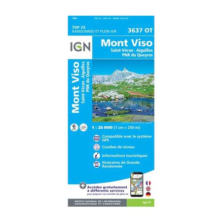


IGN Laminated map - Mont Viso
Looking for a gift for your parents, hiking friends, or your significant other? Look no further and give them this waterproof and tearproof map, to make them want to travel around France!
Description
This laminated and tearproof map from IGN (Institut National de l'Information Géographique et Forestière) offers you the opportunity to travel and visit Mont Visio with the Queyras National and Regional Park. With a scale of 1 / 25 000, it allows you to have a better degree of precision, and therefore visibility. Moreover, this map is compatible with the GPS system, which makes it a very practical asset for locating yourself easily and quickly.
Inside, you can find tourist information, but also contour lines to easily see the level of difficulty of each hike. Finally, you can also follow the Grande Randonnée routes which are also annotated inside.
The laminated map IGN - Queyras Regional National Park, is :
- A representation of the relief by contour lines
- Translated into French, English and German
- Compatible with the GPS system
- - Publishing date: 2019
- - Scale: 1/25,000 (1cm = 0.25km)
- - Language: French, English, German