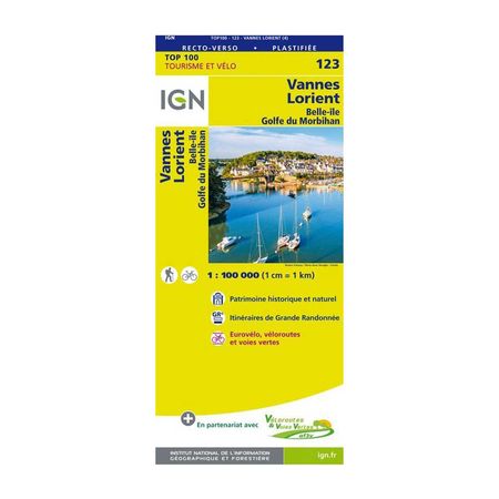


IGN Laminated map - Vannes / Lorient
In addition to having the relief represented by contour lines and side points in order to better prepare for planned hikes, this map is also laminated and is therefore not subject to water or tearing. Visit the Golf du Morbihan with complete peace of mind!
Price per batch
- -i.e. batch
Description
In this map laminated by the IGN (the national institute of Geographic and Forestry Information), you can find all the routes of the GR®, the local road network of the Vélos-routes, but also the entire road network (national, regional, departmental and local).
You can also find a lot of tourist information inside: parks and nature reserves, monuments, castles, museums, viewpoints, refuges, and much more! And, as we all know, even if the sun doesn't always shine in Brittany, don't worry about your map: it is rainproof and tearproof.
The laminated map IGN - Vannes / Lorient is :
- Perfect for discovering the Golf du Morbihan
- Ideal for discovering the area on foot, by bike or by car
- Easy to find your way around thanks to an index of communes
- - Publishing date: 2018
- - Scale: 1/100,000 (1cm = 1km)
- - Language: French, English, German
- - Printed: Recto Verso