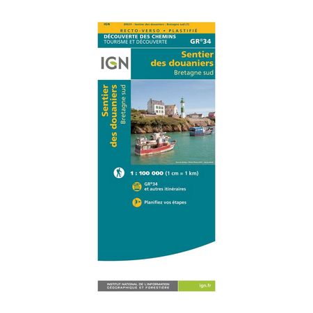


IGN Laminated map - GR34 - Sentiers des douaniers - South Brittany
Translated into French and English, this IGN map traces the route of the GR34® all along the south of Brittany, allowing you to discover this magnificent region at length!
Price per batch
- -i.e. batch
Description
The Sentier des Douaniers is a 2,000 km walk along the entire Brittany coast, from north to south. This represents about 100 days of walking at a pace of 20 km per day! And don't be mistaken, contrary to what you might think, this great hike follows a rather sporty itinerary, with differences in altitude that can sometimes be repeated over short distances.
Still up for it? Then don't forget to equip yourself with this IGN map which, in addition to being moisture resistant and tearproof, will help you to plan all your stages and to be able to follow the path of the GR34® as well as the other surrounding routes.
The laminated map IGN - GR34® - Sentier des douaniers - South Brittany, is :
- Ideal to plan your stages in advance
- The map of the GR34®, but also of other hiking routes
- A scale of 1 / 100 000 (1 cm = 1 km)
- - Publishing date: 2021
- - Scale: 1/100,000 (1cm = 1km)
- - Language: French, English
- - Printed: Recto Verso