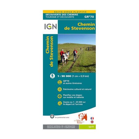


IGN Laminated map - GR70 - The Stevenson trail
Go on a GR 70 adventure and the famous Stevenson path with this laminated map published by IGN. Follow the official paths or create your route with a tear-proof and moisture-resistant map.
Description
The IGN (National Institute for Geographic and Forest Information) has designed plastic maps that are resistant to humidity. This represents long-distance hiking trail no. 70, The Stevenson trail. In addition to tracing the paths, this map provides tourist information (monuments, restaurants, museums, inns, etc.). A complete map that will bring out your adventurous side.
The Stevenson Trail is one of the most traveled GRs each year. It starts from Puy-en-Velay and ends in Alès, for a total of 267.9 km or 272.9 km depending on the variants.
The IGN plastic map of the Stevenson path (GR 70) is:
- A rain-resistant map that won’t tear
- A written description of the places to visit
- A double-sided map for easier reading
- - Publishing date: 2022
- - Scale: 1/90,000 (1cm = 0.9km)
- - Language: French, English - Printed: Recto Verso