


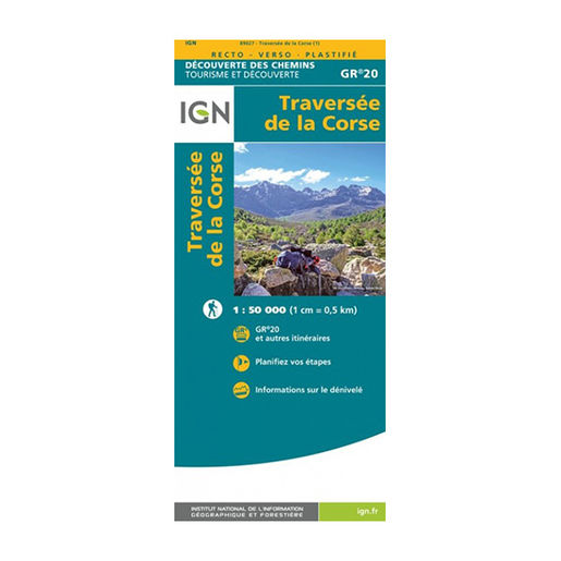
IGN Laminated map - GR20 - Traversée de la Corse
The GR 20 ... undoubtedly the best known of all the GRs. Go across Corsica with this laminated map designed by IGN. – Tear-proof and moisture-resistant
Description
The GR 20 path crosses Corsica from north to south for a period of 179 km. A 16-day hike that will help you discover the most beautiful landscapes of the Mediterranean mountainous island. The IGN (National Institute for Geographic and Forest Information) has published a laminated map of the GR 20 route to better guide you throughout this wonderful journey.
The main advantage of the GR 20 plastic map is that it is resistant to humidity. So you can consult it even when it is raining, it won’t tear. It also won’t tear if you make a movement that is a little too sharp. Unlike conventional paper maps, IGN’s GR 20 plastic map is robust. You won’t end your expedition with a map in various pieces.
The laminated maps designed by IGN are double-sided. The purpose of this is to reduce the scale, to have a better degree of precision and therefore better readability. In addition, icons on the maps indicate where to sleep, where to eat, where to practice an activity, etc. You can also deviate from its classic trails to create your own route. Finally, if you do’´t have a network, you will always know how to find your way thanks to the IGN hiking map. Everything is there to set off to conquer the GR 20 with peace of mind.
The IGN laminated map of the GR 20 - Traversée de la Corse is:
- Tear-proof and moisture-resistant
- A scale of 1:50,000 (1 cm = 0.5 km)
- An original gift idea for trekking enthusiasts