


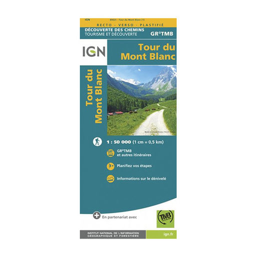
IGN Laminated map - GR TMB - Tour du Mont Blanc
The laminated map of the GR Tour du Mont-Blanc is designed by IGN. It is resistant to humidity and is tear-proof. It will accompany you during your expedition in all weathers.
Description
Mont-Blanc is the largest pass in France and, in fact, in Western Europe. A place of fascination for many adventurers in search of sensations, it is home to many hikes to do in summer and winter. The IGN (National Institute for Geographic and Forest Information) then designed a laminated map which shows the route to follow for the GR Tour du Mont Blanc. The GR TMB is one of the most popular long-distance hiking trails in Europe. About 170 km long, it crosses 3 countries which are France, Italy and Switzerland.
IGN laminated maps are moisture-resistant and tear-resistant. Do not be afraid to open them, even in rain or snow. In addition, they are double-sided for better readability (1 cm = 0.5 km). You will then have the choice to follow the classic route highlighted on the IGN map or to follow your own paths. Icons indicate on the map places of restoration, activities or to sleep. Even without a network, you will find your way back. Finally, the route with the elevation level is at the top of the map in order to get your bearings as much as possible. All the conditions needed to embark on an expedition with peace of mind are met.
The IGN laminated map of the GR Tour du Mont-Blanc is:
- A scale of 1:50,000 (1 cm = 0.5 km)
- Tear-proof and moisture-resistant
- An original gift idea for trekking enthusiasts