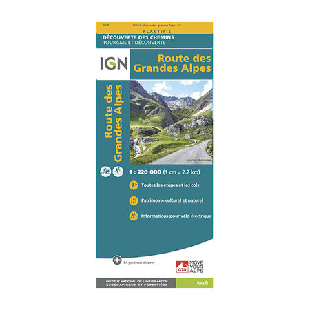


IGN Laminated map - Route des Grandes Alpes
The Route des Grandes Alpes is more than 700 km of routes to be completed on two-wheelers. Go on an adventure with the IGN laminated map, which will accompany you to every nook and cranny of the magnificent scenery that is the Alps.
Price per batch
- -i.e. batch
Description
The map of the route des Grandes Alpes is designed by IGN, the National Institute for Geographic and Forest Information. Designed for two-wheeled routes (motorcycle or bicycle), the IGN plastic map offers different routes of the Grandes Alpes route.
The route des Grandes Alpes is over 700 km long, 21 mountain passes including 6 at over 2000 m in altitude and 17,000 m in altitude. It leaves from Thonon-les-Bains to reach Nice, via Lake Geneva. Set off to conquer its magnificent landscapes, starting with the mountains and its lakes and ending with the Mediterranean Sea.
IGN maps are a benchmark in the outdoor world! They are plasticised to resist moisture and be tear-proof. You can consult it even in rainy weather. In addition, the printing is double-sided, which allows a smaller scale and thus better readability. On the IGN maps, the classic route of the Route des Grandes Alpes as well as variants are available. You are free to select the route of your choice.
In order to better guide you during your expedition, the laminated map of the Route des Grandes Alpes contains small icons which indicate the places of activities, restaurants or places to sleep. A clear and precise legend to accompany you as much as possible. The IGN has also added descriptions around the map to give you ideas for routes.
The IGN plastic map of the route des Grandes Alpes is:
- On a scale of 1:220,000 (1 cm = 2.2 km)
- Offers route descriptions in English and French
- A double-sided tear-proof map